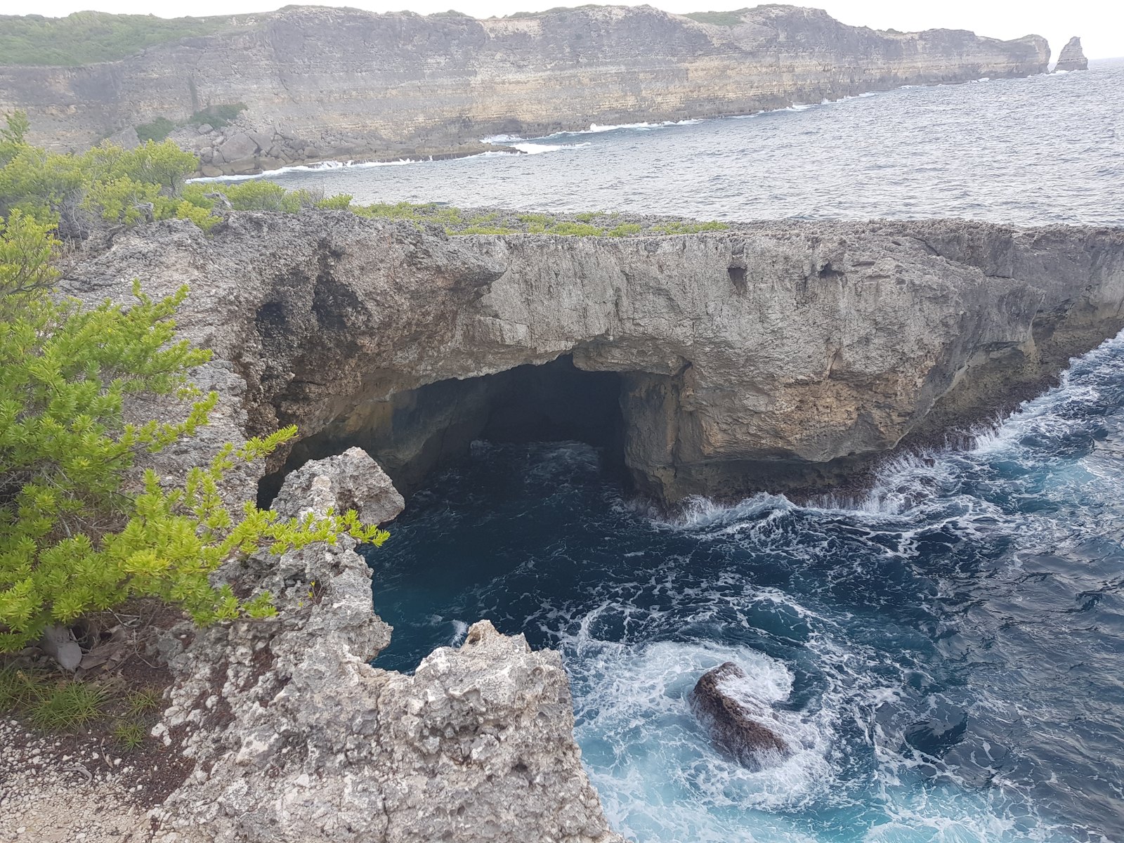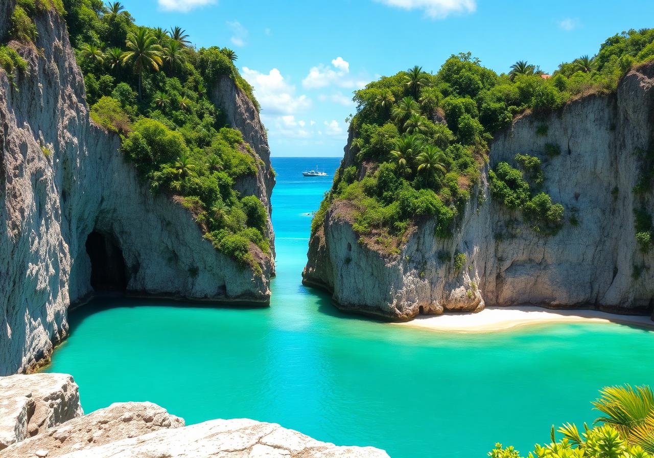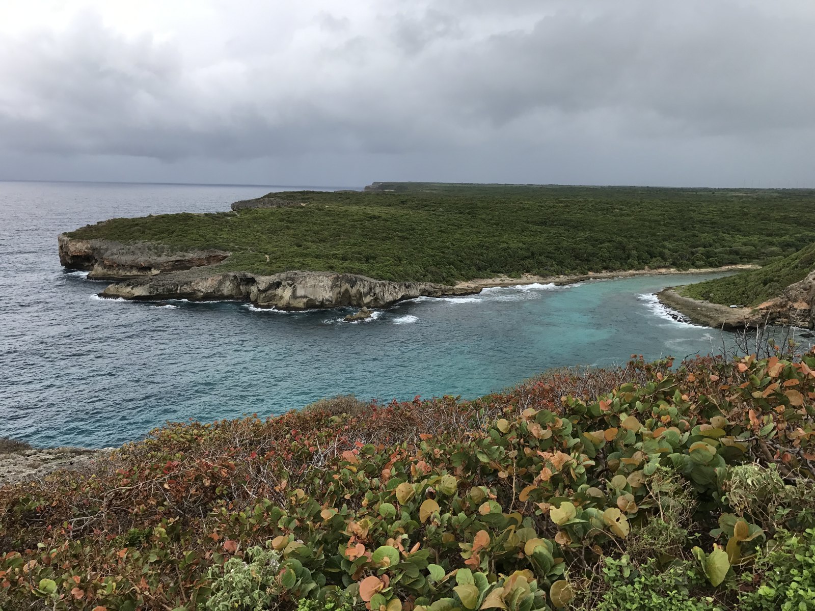
Littoral de Porte d’Enfer, Anse-Bertrand — FreeProuilhe · CC BY-SA 4.0
2 February 2026 · 4 min
Updated on 03/11/2026 · Original article: 05/01/2026
The date above follows the editorial calendar; the content was revised on the update date.
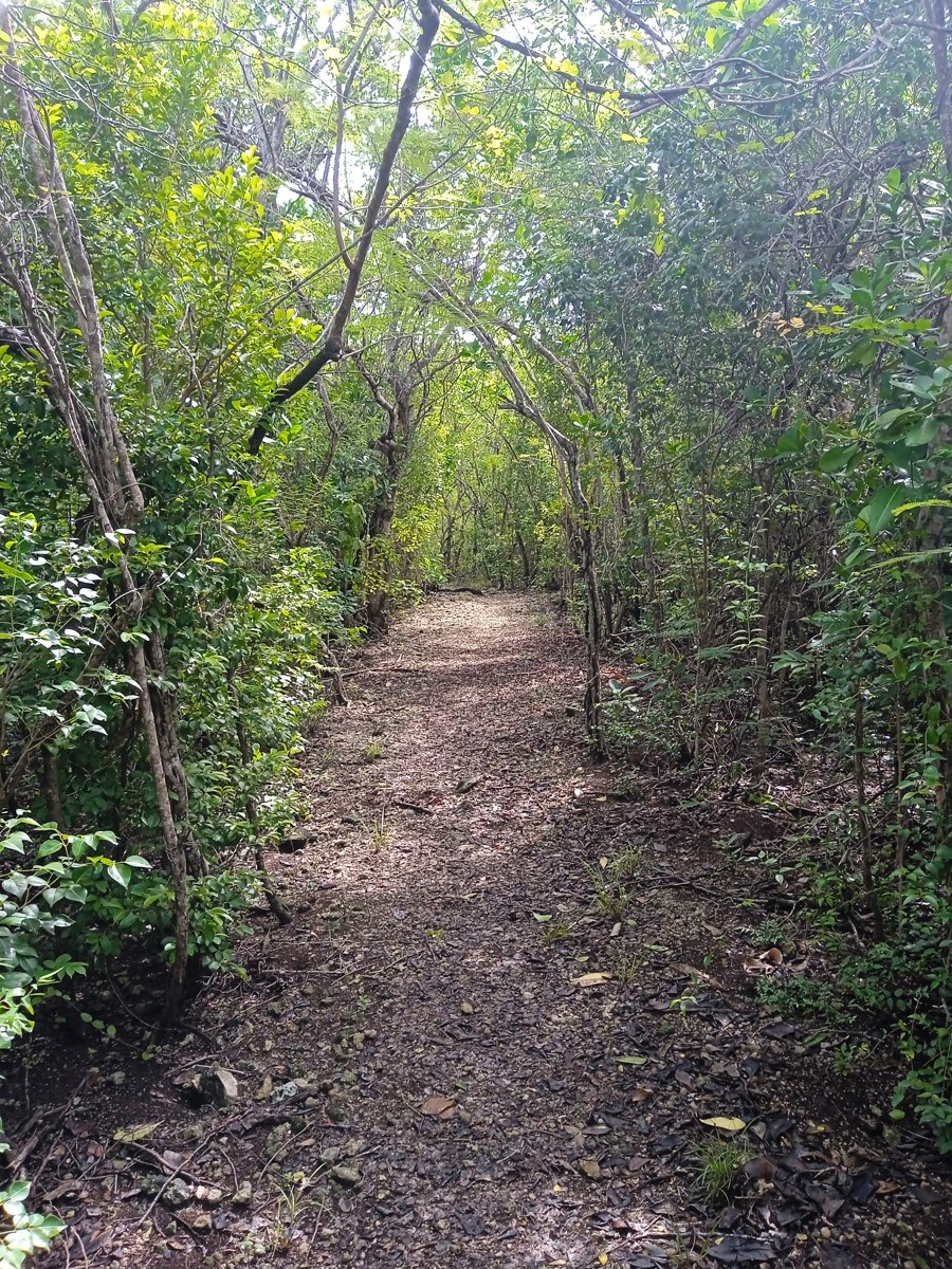
On the Trace des Falaises, walking gives you time to read the limestone terrain, the openings towards the Atlantic and the connections between landscapes. This is a hike that requires preparation, not simply a scenic stop at la Grande Vigie or Porte d’Enfer. This guide distinguishes between the route cited by the tourist office, the choice of sections and arrangements for the return journey. It provides neither a GPX file nor a universal difficulty rating: the state of the terrain and conditions must be confirmed.
Understanding a limestone coast on foot
You discover the Trace des Falaises differently when you are not simply looking for the next panoramic view. The limestone terrain, the outlook towards the Atlantic and the coastal vegetation form a single landscape. From the permitted path, observe the contrasts between a cliff face, a recess and a more open stretch. They invite you to understand how water and exposure to the sea help reshape the coast, without allowing you to assess the stability of an edge yourself.
You do not need to approach a cavity to take an interest in its shape. Observing from a distance, supported by a well-documented explanation, can be more informative than a close-up photograph. Use your stops as opportunities to read the terrain: which feature catches your eye, how does it relate to the surrounding landforms, and what remains hidden from your position?
Turning a hike’s name into a clear plan
The description of the Trace des Falaises between Pointe Petit Nègre and Porte d’Enfer provides a framework, but your plan must specify the section you have actually chosen. On a map, identify the endpoints, named places and your return arrangements. Pointe du Souffleur and Trou à Man Coco are landscape landmarks mentioned in this presentation; their presence in a list is not enough to build a viable route.
Then ask yourself what kind of experience you are looking for: an observational walk, a guided exploration of the coast or a more demanding route. Your answers will guide your choice of section and level of support. They also help avoid treating a brief visit to Porte d’Enfer as equivalent to the entire hike. If participants have different levels of experience, agree on a shared objective before consulting information about the terrain. The route should serve this shared wish, rather than impose a challenge determined by its name alone.
Giving breaks and the return journey a purpose
On a coastal hike, breaks can become genuine opportunities to interpret the landscape. Choose a permitted spot where the group can stop without blocking the path, then observe a detail: the direction of the vegetation, the pattern of a cliff face, the contrast between water and rock. Keep your questions in a notebook rather than seeking a definitive explanation on the spot. A guide can then connect these observations with the geology or uses of the area.
Plan the return journey as carefully as the outward leg. For a linear route, the end of the walk must connect with confirmed arrangements, not an assumed link. For a permitted and verified out-and-back route, the walk back forms part of the effort you need to plan for; the pleasure of a panoramic view must not obscure this second half.
Finally, you can choose a single theme for the outing, such as limestone formations or variations in the coastal landscape. This guiding thread gives depth to a shorter hike and lets you talk about it afterwards without measuring it solely by the number of places reached.
Identifying the exact route
The northern tourist office describes the Trace des Falaises between Pointe Petit Nègre and Porte d’Enfer, with Pointe du Souffleur and Trou à Man Coco among the landscapes mentioned. This reference distinguishes it from the Trace des Pêcheurs. Confirm your chosen starting point, waymarking and open sections before setting out: a tourist information sheet does not guarantee the state of the terrain today.
A coastline to approach with caution
Panoramic views must remain secondary to safety. Information sheets for the area warn of the risk of cliff edges collapsing. Do not leave the permitted path, look for a shortcut or climb down onto a ledge. In windy conditions or poor visibility, avoid exposed sections.
Preparing to be self-sufficient
Bring water, sun protection, suitable footwear and a way to consult your route information offline. Tell someone your plans and leave enough leeway for the return journey. A downloaded map does not guarantee that a passage is open. Without reliable information or sufficient experience, go with a guide.
Knowing when to shorten the outing
The group must be able to turn back before fatigue sets in or the weather changes. A closure, damaged terrain or uncertainty about the route ahead justifies stopping. No GPX file, distance, walking time or universal difficulty rating is provided here: these details must correspond to the section actually chosen and checked.
Reference sources
Stay in Grande-Terre
Our homes in Le Moule and Saint-François.