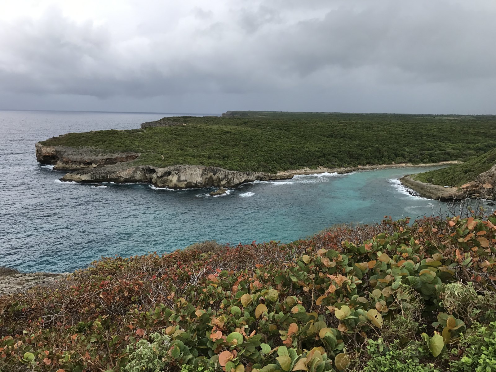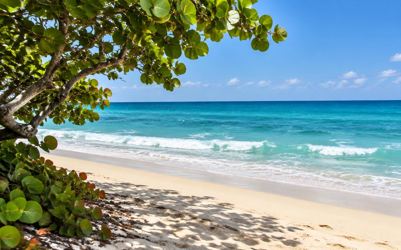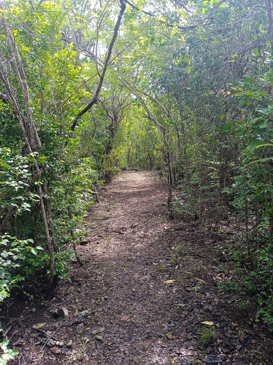
Chemin côtier à Anse-Bertrand — illustration du littoral, pas un tracé d’itinéraire — Enrevseluj · CC BY-SA 4.0
26 January 2026 · 4 min
Updated on 03/11/2026 · Original article: 30/12/2025
The date above follows the editorial calendar; the content was revised on the update date.
Between Anse Laborde and la Grande Vigie, the Trace des Pêcheurs offers a chance to explore the Anse-Bertrand coastline on foot. Its appeal is not just the panoramic view at the end: familiarising yourself with the names and passages, and planning the return journey, helps you enjoy the walk more. This guide distinguishes Man Louis from Man Coco, the trail from the longer leg towards Porte d’Enfer, and plans for a hike from a simple visit to the viewpoint. Information about the terrain still needs to be confirmed before departure.
A transition between Anse Laborde and la Grande Vigie
The Trace des Pêcheurs offers a way to link two perspectives on the Anse-Bertrand coastline: the shore at Anse Laborde and the landscapes of Pointe de la Grande Vigie. Its appeal therefore lies not only in the panoramic views at the end. When preparing the route, ask how the character of the landscape changes along the way and which sections actually allow observation from the open path.
The trail’s name may spark curiosity about uses of the coast, but it does not by itself prove the origins of each passage. To understand the local history of fishing and travel, seek well-documented interpretation. Avoid assigning a former purpose to a path, rock or structure simply because the landscape seems to lend itself to it. Current uses must also be respected, without getting in the way of those who work there.
Untangling the names to read the map more clearly
Preparing for this walk calls for a little work on geographical terminology. Anse Laborde and Grande Vigie are the endpoints given for the Trace des Pêcheurs. Trou à Man Louis appears in its description; it should not be replaced with Trou à Man Coco, which is associated with another area. This distinction may seem minor, but it prevents you from looking on the ground for a place that does not match your plans.
When researching the route, separate place names from route names. A broader route sheet heading towards Porte d’Enfer may overlap with part of your walk without describing exactly the same outing. Compare the start and finish points before using any directions, then have your chosen section confirmed. Do not piece together several descriptions as parts of an assumed circular route. Clear preparation then allows you to devote more attention to the landscape and less to resolving contradictions between documents.
Choose a walk, not just a destination
If your main wish is to see Grande Vigie, ask yourself whether a visit to the site would suit you better than a hike. The Trace des Pêcheurs is a walking route with its own constraints, notably the road sections indicated. Distinguishing between these two intentions takes nothing away from the pleasure of the panorama; it avoids embarking on a walk the group had not really chosen.
For those who opt for the trail, suggest a shared theme for observation: how does the terrain change your perception of the ocean? What features give the coastline its inhabited or exposed character? These questions require neither leaving the path nor approaching cavities. They give pauses a purpose and allow walkers to share more than a pace.
Finally, prepare the end of the outing as a stage in its own right: meet your confirmed transport, drink, rest and discuss the walk. A swim is not a compulsory reward. A relaxed finish on land, with a few precise observations to remember, is enough to give this exploration of the north a sense of coherence.
Read the route sheet before choosing your section
The dedicated route sheet describes a start at Anse Laborde and a finish at Grande Vigie, with Trou à Man Louis along the way. Man Louis and Man Coco are distinct sites. Another sheet describes a longer Anse Laborde–Porte d’Enfer stage passing through this area: do not mix its directions with those for the specific section you choose.
Take care around roads and cliffs
The route sheet highlights road traffic and cliff-edge hazards. On permitted sections, stay alert to vehicles and keep well back from the edge. A fine view does not justify crossing without a clear view or leaving the path for a photo.
Organise your arrival and return
If your route is linear, confirm your return arrangements before setting off. Do not assume a bus will be available at the end of the outing. Bring water, suitable footwear and sun protection, and choose the section to suit the least confident participant. Ask about the condition of waymarking and recent closures.
A hike does not have to end with a swim
The same route sheet mentions car parks and unsupervised swimming areas, and notes sargassum at Porte d’Enfer. On arrival, rest on land if sea conditions or tiredness make swimming unsuitable. Getting into the water is not a compulsory goal and must not distract you from local instructions.
Reference sources
Stay in Grande-Terre
Our homes in Le Moule and Saint-François.