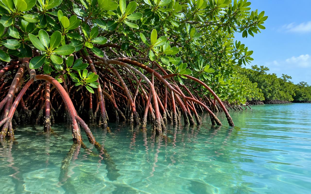
Generated illustration — not a depiction of a specific location
12 January 2026 · 4 min
Updated on 03/11/2026 · Original article: 02/12/2025
The date above follows the editorial calendar; the content was revised on the update date.
At Canal des Rotours, the waterscape also tells a story of human intervention: movement, drainage and transport have helped shape the area. At Morne-à-l’Eau, this history can be explored alongside the wetlands and town centre. This guide provides background for understanding the waterway and distinguishing mangrove from swamp forest. Prepare for your visit with confirmed access and guidance: a line on the map does not mean you can walk freely along every bank.
Read a man-made structure in a waterscape
Canal des Rotours invites you to distinguish between a wetland environment and an engineered feature. Its history, linked to navigation, drainage and the transport of sugar production, shows how a structure can transform the relationship between an area and water. This perspective adds another layer to the visit: the canal is not simply a passage through vegetation.
Drawing on the historical explanations available, imagine the needs this development addressed: moving products, organising travel and changing land use. Keep documented functions separate from your own hypotheses, however. The present shape of a bank or the presence of a structure cannot, on their own, reveal its former use. Interpretation helps connect visible traces with preserved information.
Distinguish mangrove from swamp forest
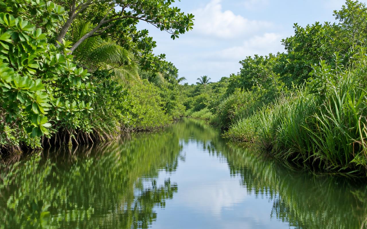
Around Morne-à-l’Eau, referring to all vegetation near water simply as ‘mangrove’ overlooks some of the landscape’s diversity. The National Park’s resources also distinguish swamp forests. The presence of water alone is therefore not enough to identify a habitat: salinity, soils and vegetation all help you read the landscape.
Without venturing onto an undeveloped bank, ask your guide which clues help identify the habitats you are actually seeing. This is not about turning the outing into a botany exam. Understanding why two wet woodland areas do not function in quite the same way is already a discovery. You can then relate this diversity to the canal development project: a waterside landscape has both a natural history and a human history, which are distinct.
Connecting the canal and the town centre
To prepare for your visit, choose a question that will link the stops: how has water influenced economic life and the organisation of the area? The canal will offer one perspective; the town centre’s public spaces and heritage information may offer another. This common thread avoids placing a nature walk and an urban visit side by side with no connection between them.
If you would like to explore the canal from the water, check that the proposed outing includes historical and environmental explanations, rather than simply a journey. Ask which area you will cover and which features can be discussed. A commercial offering does not imply that there is unrestricted access to all the banks.
In the town centre, make room for present-day uses: shops, encounters and places of remembrance are not mere illustrations of an old story. Let residents go about their activities and seek out resources intended for visitors. At the end of the outing, you can compare the past functions described in the interpretation with the landscape you have seen, without claiming that everything that exists today can be explained by the canal alone.
Reading the landscape around Morne-à-l’Eau
The National Park describes swamp forests in the Morne-à-l’Eau and Petit-Canal areas. Observe the transition between inhabited areas and wetlands from confirmed public access points. Do not cross a plot of land or an undeveloped bank to reach the water.
The canal: ask for historical interpretation
The northern tourist office states that the canal was dug between 1826 and 1829 under Governor Jean-Julien Angot, baron des Rotours. It links the history of this structure to navigation, marsh drainage and the transport of sugar production. A guided visit helps you understand how this waterside landscape contributed to economic life, going beyond a simple stroll.
Organising a visit or an outing on the water
Ask the tourist office about places to visit, operators and current options. Any offering found online must be confirmed: exact departure point, supervision, weather conditions and return arrangements. Do not launch a boat from an access point assumed to be public, and do not venture into the mangrove alone.
Completing your visit in the town centre
Shops and public spaces offer another perspective on the municipality. For a place of remembrance or a heritage site, respect local practices and enquire about access; do not treat residents or ceremonies as a backdrop. A short, thoughtful outing with explanations is preferable to a tour that strings together places without context.
Reference sources
Stay in Grande-Terre
Our homes in Le Moule and Saint-François.